Method notes · Overview
How Bury Hill was fished
Waggler and feeder for the bags, punts for the far corners, and a winter predator season on an ice-free lake. Everything here comes from what the fishery and its anglers wrote at the time.
Swim map · Old Bury Hill
The Old Lake, as described
The named swims and features of Old Bury Hill Lake, placed on an illustrated plan. Tap a name for the page that covers it. The 75 platforms lay between beds of lilies and irises all the way round [Archive, 29 January 2002].
- 1Long BankLily beds along its length; float fishing with Ewos pellet paste for carp.
- 2Peg 42Steven Grant’s 30 lb 8 oz mirror, May 2001, about ten feet from the lilies.
- 3Island BankThree aeration inlets where the pumped water returned via a weir and stream.
- 4The islandWooded island; casting to it was a standard carp approach.
- 5The jungleRemote reedy water reached by boat; crucians on bread flake, the 500 lb haul of May 2000.
- 6BoathouseShop, café and the punts.
Drawn by the archive from the fishery’s own written descriptions. The original 2002 fishery map was an image that did not survive; its page is restored as a placeholder. Which side of the lake each bank lay on is a reasonable guess, not a measurement.
Method notes
Read about each method
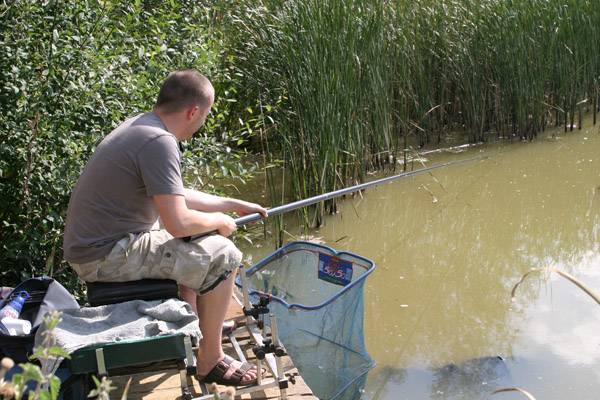
Method note 01 · Waggler & Feeder
Waggler and feeder
The traditional Old Lake methods: 200 lb bags, the 137 lb match record and the flow from the aerators.
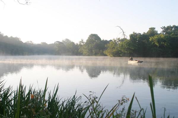
Method note 02 · Boat Fishing
Boat fishing
Punts for one to three anglers, the jungle, and the 500 lb haul of May 2000.
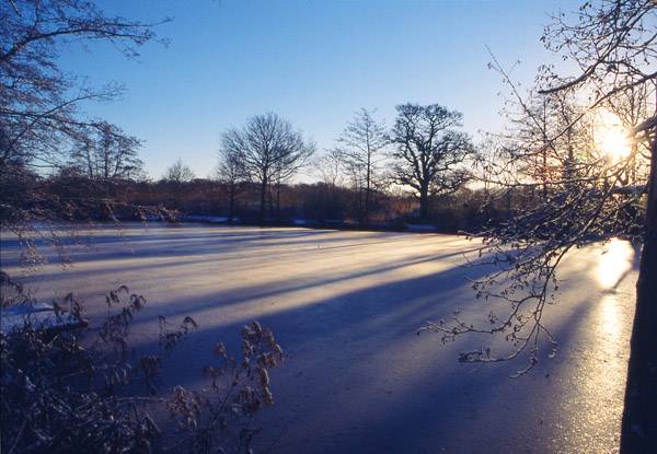
Method note 03 · Predator Season
Predator season
The 1 October to 31 March season, bank and boat, and the ice-free flow.
For the fish these methods were aimed at, see Fish.
Questions
Frequently asked
How was Old Bury Hill Lake fished?
The fishery called it “traditionally a waggler and feeder water”, though all methods worked. Punts gave access to remote areas, and the predator season ran from 1 October to 31 March.
Is the swim map accurate?
It is an illustration drawn from the fishery’s written descriptions, not a survey. Positions are approximate. The original fishery map was an image that did not survive.